Classroom mode
A question for the whole room
One story to open. A room full of ideas to test.
Ready in three steps
- Open the story.Read and try the first pages together.
- Pause for a prediction.At the story’s question, read its choices aloud. Invite a vote and ask, “What makes you think that?”
- Run it. Watch. Wonder.Choose the class’s prediction, run the experiment, and compare what happened with your guesses.
Different guesses are welcome. The experiment gives everyone something to rethink.
Something to put on paper
A one-page prediction and observation sheet. No answers included.
After the experiment: discussion notes
Talk about what happened
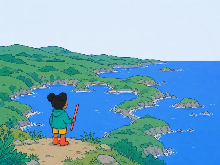
- Predict first: you measure a wiggly coast, then measure again with a much shorter ruler. Do you think the total gets shorter, stays the same, or grows? Why?
- Predict first: does a perfectly round lake's length keep growing the same way a coast does as you measure finer? What's different about the two shapes?
- If there's no single true length, how should a textbook or atlas decide what number to print for a country's coastline?
Where it shows up in real life
- Atlases listing very different coastline lengths for the same country because they used different map scales
- Tracing a wiggly border or river on a map and arguing about how 'long' it really is
- Zooming into a coastline on a phone map app and watching new little bays appear that weren't visible before
Free · no login · no student accounts