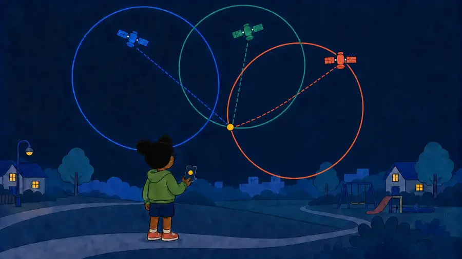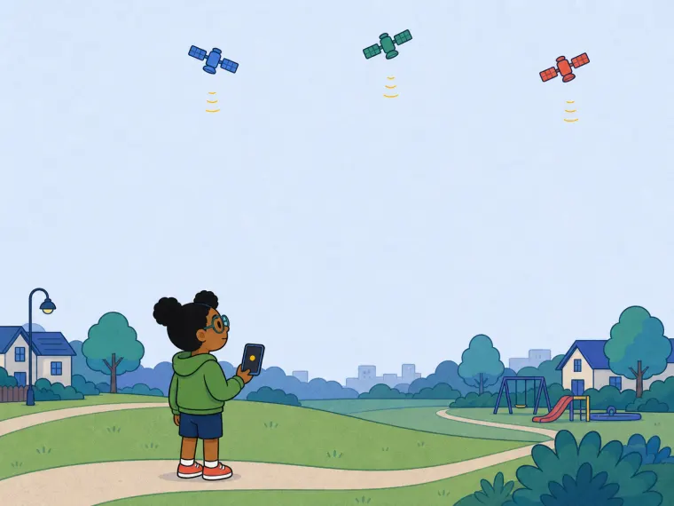
First, make one “how far?” clue. A satellite sends a signal that says when it left. Your phone checks when it arrives: more travel time means more distance.
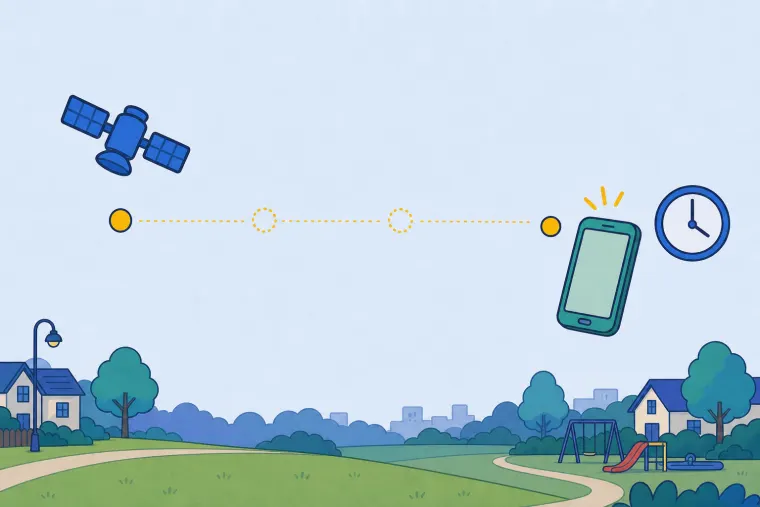
Try it: send the signal. When it reaches the phone, the phone learns how far it is from the blue satellite — but not which direction.
Now draw that clue on a simple flat map. One distance cannot choose one dot: every grey phone spot on the blue ring is exactly that far from the satellite.
Drag from CLOSE to FAR. You are changing the distance measured from the signal; the blue ring redraws every map spot that could still be your phone.
Possible phone spots: still a whole ring.
One distance still leaves a whole ring. So the phone asks a second satellite for another “how far?” clue. Before its green ring appears, guess what two clues will leave.
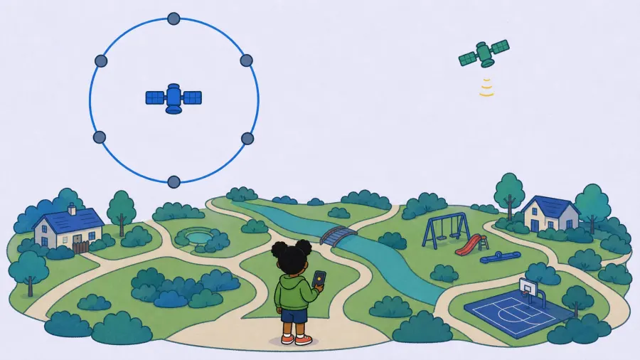
Each satellite gives one distance-ring.
When a second ring joins the first, how many map spots will fit both distances?
Add one satellite at a time. Stop at two to test your guess. Then watch what changes at three.
One ring: lots of places could fit.